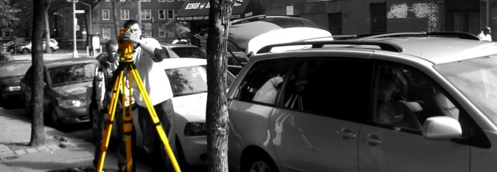
ARCHITECTURAL SURVEY professional land surveyor surveying brooklyn bronx queens manhattan nassau counties ASTORIA ARVERNE BELLE HARBOR BAYSIDE BROAD CHANNEL CORONA EDGEMERE ELMHURST FRESH MEADOWS FORST PARK FAR ROCKAWAY FOREST HILLS GLENDALE GREENPOINT HOLLIS JACKSON HEIGHTS JAMAICA JAMAICA ESTATES MIDDLE VILLAGE MASPETH ROCHDALE OAKLAND GARDENS OZONE PARK RICHMOND HILL RIDGEWOOD ROCKAWAY PARK ROSEDALE SPRINGFIELD GARDENS ST.ALBANS QUEENS VILLAGE WILLIAMSBURG WHITESTONE title survey, architectural survey, topographical survey, final survey, certificate of occupancy survey, elevation certificate, boundary survey, property survey, stake out survey, layout survey, building plumbness, land survey, building department survey

PROPERTY LINES with dimensions, angles with the distance to nearest intersection (as per legal description if submitted) included area in square feet and acres, tax block, lots and buildings numbers. Recorded easements and right of ways will be shown if descriptions submitted.
SITE ELEMENTS: existing buildings with dimensions to the 0.01 foot, sheds, steps, curbs, retaining walls, fences, drains and other appurtenances on the subject property with all encroachments across property line (if any) with dimensions to the 0.1 of foot. Spot elevations on a 50 feet grid covering the property and first floor elevation of the building with accuracy to the 0.01 foot All trees of 4” and more caliper will be located. Adjacent properties in 10’ radius will be shown.
STREET ELEMENTS: sidewalks (incl. width), streets (incl. width) and surface elements (street lights, traffic lights, hydrants, utility poles, parking meters, etc.). Indicate centerline of street, opposite curb and legal width of streets. Adjacent 50 feet of street and sidewalks on both sides of subject property. Spot elevation at top and bottom of curb, sidewalk, center line of the street and lot line at 50 feet intervals will be shown. Existing legal grades will be depicted (if available from City Agencies). UTILITY INFORMATION: location of all utility hardware in the street and sidewalks such as water, gas, electric and sewer manholes and valves, fire hydrants with dimensions to the property lines, show rim and invert elevation of sewer manholes. Utility lines will be shown based on record maps received from utility companies.
TITLE SURVEY, ARCHITECTURAL SURVEY, TOPOGRAPHICAL SURVEY, PROPERTY SURVEY, BOUNDARY SURVEY, ELEVATION CERTIFICATE, FINAL SURVEY, FOUNDATION LOCATION, STAKE OUT SURVEY, SURVEYOR QUEENS, SURVEYOR BROOKLYN, SURVEYOR NASSAU, SURVEYOR BRONX, SURVEYOR MANHATTAN, LAND SURVEYOR QUEENS, LAND SURVEYOR BROOKLYN, LAND SURVEYOR NASSAU, LAND SURVEYOR, BRONX, LAND SURVEYOR MANHATTAN,
338 JERICHO TURNPIKE FLORAL PARK NY 11001
PHONE: 718-354-7279 FAX: 718-247-5854
email: SURVEYS@KABAPLS.COM
LAND SURVEYOR SURVEYING BROOKLYN BRONX QUEENS MANHATTAN NASSAU
TITLE SURVEY ARCHITECTURAL SURVEY TOPOGRAPHICAL SURVEY FINAL SURVEY ELEVATION CERTIFICATE CERTIFICATE OF OCCUPANCY PROPERTY SURVEY