FLOOD ELEVATION CERTIFICATE

The Flood Elevation Certificate is an important tool of the National Flood Insurance Program .It is used to certify building elevations if the building is located in a Special Flood Hazard Area in order to determine the proper flood insurance premium rate for the building or support a request of a Letter of Map Amendment LOMA or Letter of Map Revision based on fill LOMR-F.
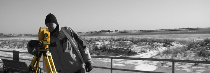
The elevation information must be submitted on the Elevation Certificate (FEMA Form 81-31) in effect at the time that the Elevation Certificate was completed and signed. Elevation Certificates can only be completed by a licensed land surveyor who is licensed by the State to perform such functions.
An Elevation Certificate is required by the National Flood Insurance Program to certify the reference level of a building for INSURANCE RATING PURPOSES. Without the data provided by an Elevation Certificate the property can not be properly rated for flood insurance purposes.
338 JERICHO TUNRPIKE FLORAL PARK NY 11001
PHONE: 718-354-7279 FAX: 718-247-5854
email: SURVEYS@KABAPLS.COM